
Limited-Time Offer: 7:00

Explore the World 193 Countries One Page at a Time

Maps, Landscapes, People and Everyday Life

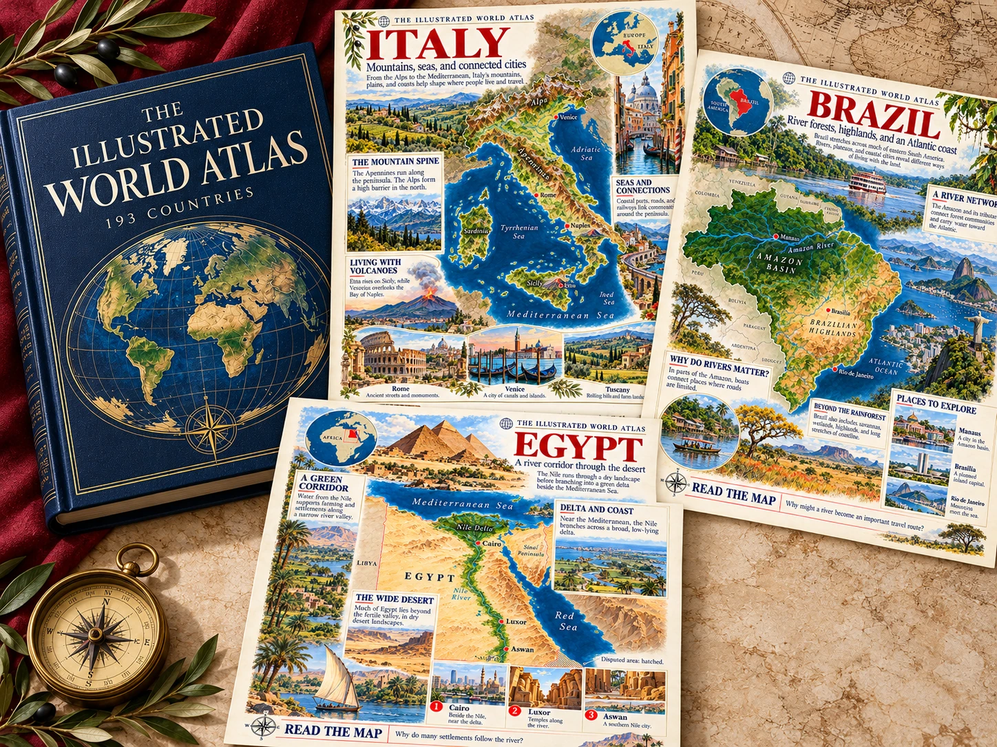
The Illustrated World Atlas mockup with actual Italy, Brazil and Egypt country pages

Explore countries through illustrated maps, landscapes, and everyday connections. Discover how mountains, coastlines and transport help shape life in each place. One country per page, with clear visuals and questions that invite a closer look.

✓ Illustrated maps✓ Real-world connections✓ One country per page
EXPLORE THE COMPLETE ATLAS →
Maps · Landscapes · Real-world questions
193Countries
1Page per country
4–8Suggested grades
5Companion bonuses

a few countries to explore

sound familiar?

Make room for a world of discovery

✕Spend Sunday piecing together maps, pictures and country facts
✕Rely on country names and capitals alone
✕Think up every geography discussion from scratch
✕Struggle to connect a map with life in that place
Choose a country. Look at the map. Follow your curiosity. Discover how the land connects with the way people live.
EXPLORE THE COMPLETE ATLAS →
inside the atlas

A Closer Look at the Atlas

Real country pages. Illustrated maps, remarkable landscapes and questions that bring geography to life.

one atlas, many discoveries

Explore at home or in class

⌖Country studyExplore one country and its landscapes
◷Map warm-upsStart with a detail that sparks a question
✥ConnectionsConnect places with the way people live
✧ExploreObserve, compare and discuss together
what you get today

Five companions for deeper discovery

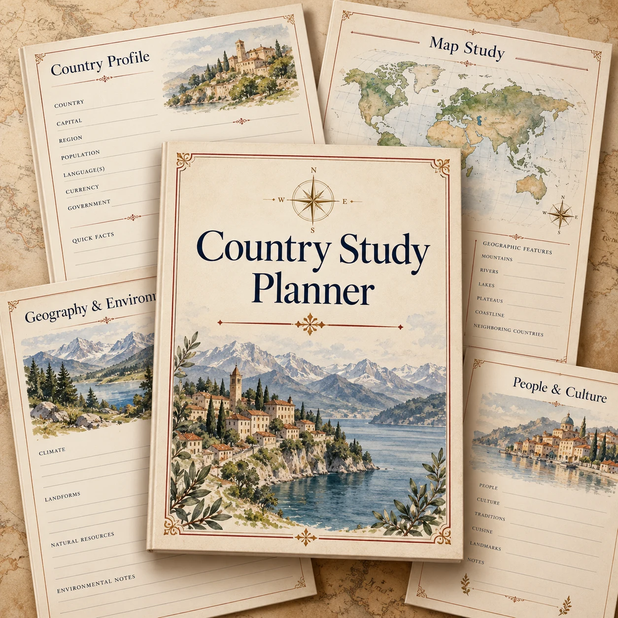
Country Study Planner concept mockup
bonus 01

Country Study Planner

Choose a country, plan your exploration and keep a simple record of the places you discover together.

$12.90FREE TODAY
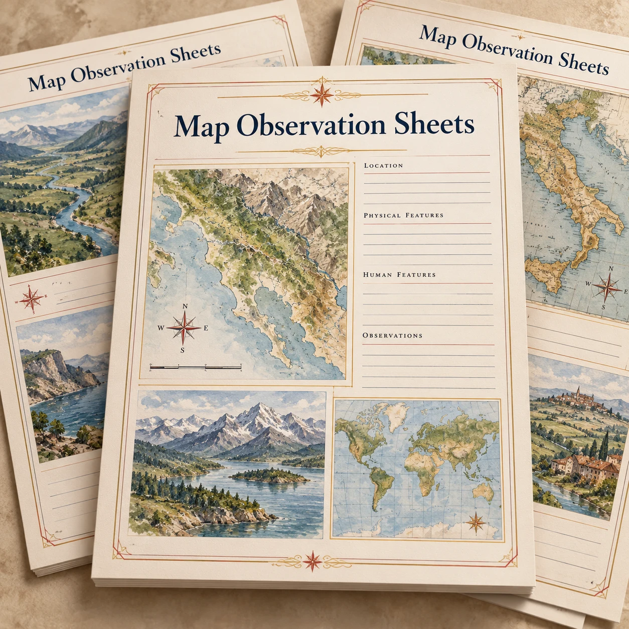
Map Observation Sheets concept mockup
bonus 02

Map Observation Sheets

Turn a closer look into clear observations about location, landforms, coastlines and cities.

$9.90FREE TODAY
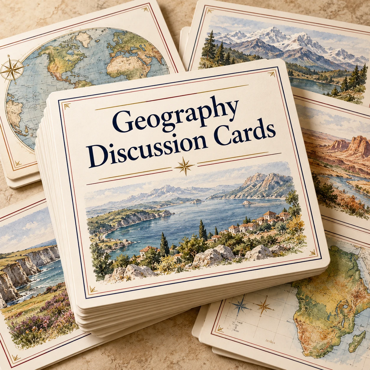
Geography Discussion Cards concept mockup
bonus 03

Geography Discussion Cards

Keep the conversation going with prompts that connect a country’s landscapes to everyday life.

$14.90FREE TODAY
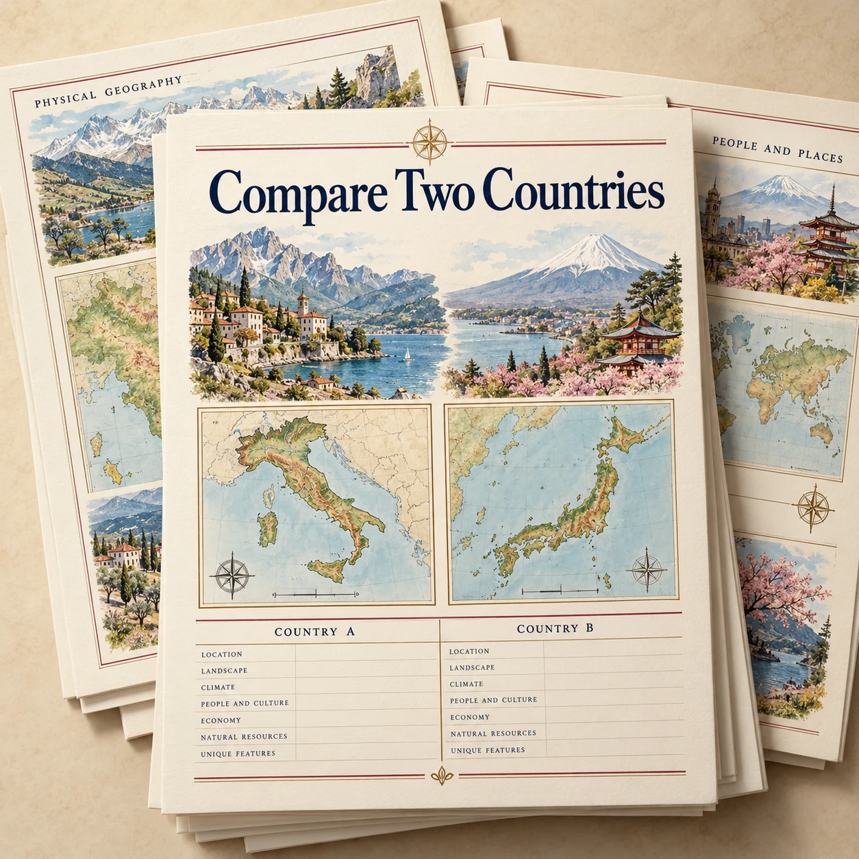
Compare Two Countries concept mockup
bonus 04

Compare Two Countries

Explore similarities and differences in landscapes, settlement and transport with a guided comparison.

$16.90FREE TODAY
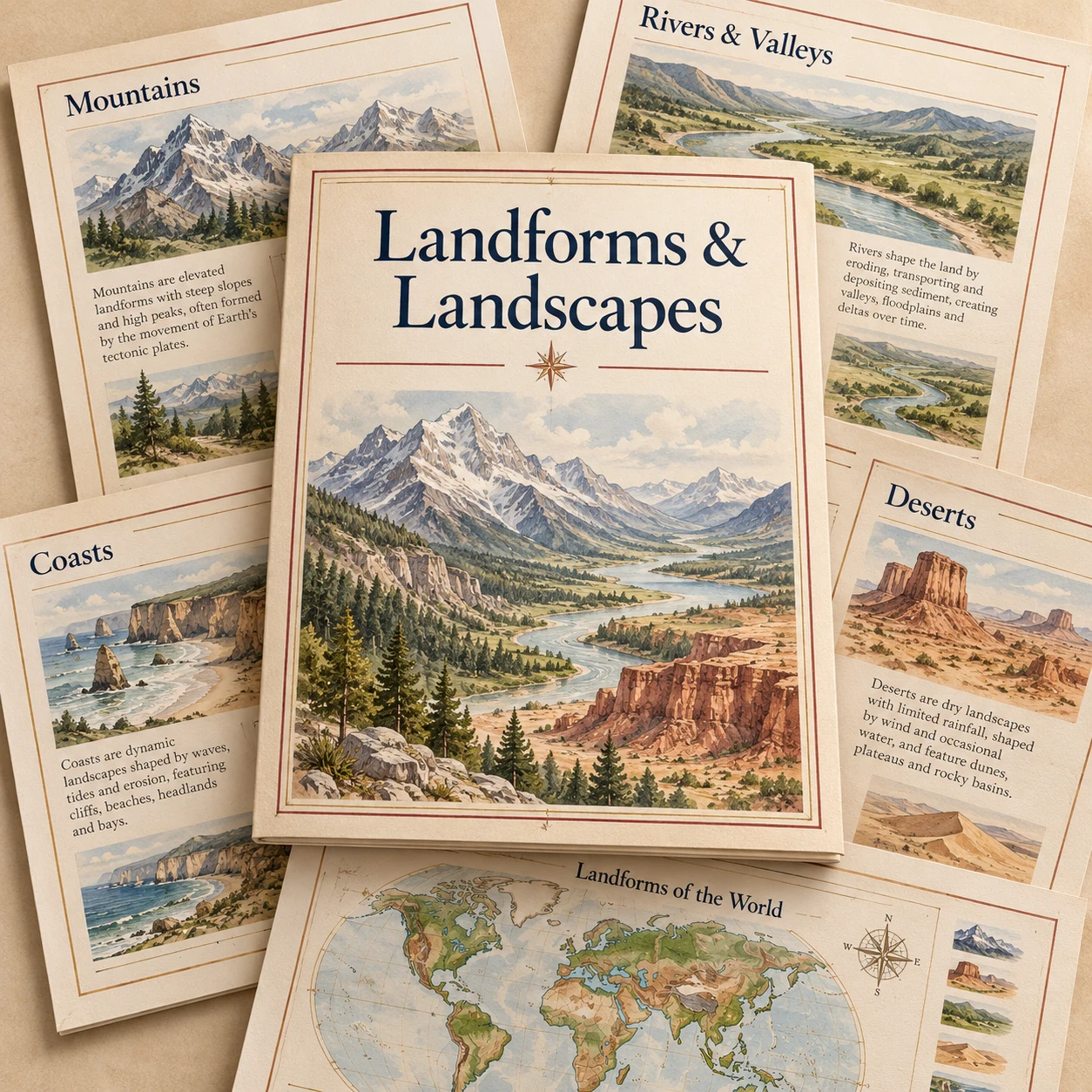
Landforms & Landscapes concept mockup
bonus 05

Landforms & Landscapes

A visual companion to the mountains, plains, rivers and coastlines you encounter in the atlas.

$19.90FREE TODAY
Total bonus value: $74.50Today only: FREEAll 5 bonuses. Yours at no extra cost.
30-day money-back guarantee seal

Explore the Atlas for 30 Days

Explore the pages at home or in class. If the atlas is not the right fit, contact us within 30 days for a full refund.

choose your plan

CHOOSE YOUR ATLAS EDITION

Offer expires in 07:00

Basic Plan
The illustrated atlas
$12.90
One-time payment · lifetime access
  • The Illustrated World Atlas: 193 Countries
  • 5 companions not included
GET ACCESS NOW
🔒 100% secure environment
★ MOST POPULAR
Complete Plan
193 country pages + 5 companions
Total value: $87.40
$19.90
One-time payment · lifetime access
  • The Illustrated World Atlas: 193 Countries
  • + 5 companion bonuses
  • Country Study PlannerINCLUDED
  • Map Observation SheetsINCLUDED
  • Geography Discussion CardsINCLUDED
  • Compare Two CountriesINCLUDED
  • Landforms & LandscapesINCLUDED
GET INSTANT ACCESS NOW
🔒 100% secure environment · 📧 instant access by email
educators & families

What Readers Are Saying

★★★★★Extremely satisfied
Jennifer R.Homeschool parent · Grades 5, 7
We do one country every Friday now. My two kids fight over who gets to pick the next one. The illustrations are gorgeous, and the questions actually got my seventh grader explaining why Egypt’s towns follow the Nile. Worth every penny.

★★★★★Extremely satisfied
Mr. Daniels6th Grade Social Studies
I use one page as a warm-up at the start of class. Students look at the map for two minutes, then we discuss the question. Great conversation starter, and it covers every UN country, which I couldn’t find anywhere else at this price.
★★★★★Extremely satisfied
Amanda K.4th Grade Teacher
Beautiful resource. My students loved the landscape pictures, and the Compare Two Countries pages were perfect for partner work. I’d love to see a version with a simpler reading level for my strugglers, but overall fantastic.
★★★★★Extremely satisfied
Charlie P.Homeschool · Grade 6
We were piecing together geography from library books and random printables. This gave us one place to start. We add a recipe or song from each country and it’s become our favorite part of the week.
★★★★★Extremely satisfied
Ms. LopezMiddle School ELL Teacher
The visuals do a lot of the work for my English learners. They can talk about mountains, rivers, and coasts before they read a word. The discussion cards are a nice bonus.
educator spotlight

Meet Priscilla Martins

Priscilla Martins13 years teaching ✎

Priscilla Martins is a teacher and educational resource creator with 13 years of classroom experience. She holds a degree from the University of Texas. Her teaching approach connects clear explanations with real-world meaning, helping students ask questions and look more closely at the world around them.

quick answers

Frequently Asked Questions

Each country has an illustrated page that brings together a map, landscapes and questions connecting physical geography with everyday life.

The intended audience is curious learners in Grades 4–8, with guidance at home or in class. Explore the Japan sample to judge the reading level and visual detail.

The collection is planned around the 193 UN member states, with one illustrated page per country. This gives the atlas a clear, consistent country list.

No. This is a one-time payment. You receive lifetime access without monthly or annual fees.

The proposed offer includes a 30-day money-back guarantee. If the atlas is not a good fit, contact us within 30 days of purchase for a full refund.

ready to explore?

193 Countries. One Page at a Time.

Explore illustrated maps, discover remarkable landscapes and connect geography with everyday life. Start with one country. See where curiosity takes you.

EXPLORE THE COMPLETE ATLAS →
lifetime access ·one-time payment ·30-day guarantee

Open full-size image ↗